WAAS Hosted Payload on Galaxy-15
The Wide Area Augmentation System (WAAS) uses a system of dozens of ground stations in various CONUS locations to provide necessary augmentations to the GPS standard positioning navigation signal. A network of precisely-surveyed ground Reference Stations are strategically positioned across the U.S. including Alaska, Hawaii and Puerto Rico to collect GPS satellite data. Using this information, a WAAS Message is developed at the Master Station to correct signal errors. These correction messages are then broadcast from Ground Uplink Stations through commercial GEO communication satellites to receivers onboard aircraft using the same frequency as GPS. WAAS is designed to provide the additional accuracy, availability and integrity necessary to enable users to rely on GPS for all phases of flight, from enroute through GNSS Landing System (GLS) approach for all qualified airports within the WAAS coverage area. With the Wide Area Augmentation System (WAAS), accuracies of 1-2 meters in horizontal and 2-3 meters in vertical are consistently achieved.
The Wide Area Augmentation System (WAAS) uses a system of dozens of ground stations in various CONUS locations to provide necessary augmentations to the GPS standard positioning navigation signal. A network of precisely-surveyed ground Reference Stations are strategically positioned across the U.S. including Alaska, Hawaii and Puerto Rico to collect GPS satellite data. Using this information, a WAAS Message is developed at the Master Station to correct signal errors. These correction messages are then broadcast from Ground Uplink Stations through commercial GEO communication satellites to receivers onboard aircraft using the same frequency as GPS. WAAS is designed to provide the additional accuracy, availability and integrity necessary to enable users to rely on GPS for all phases of flight, from enroute through GNSS Landing System (GLS) approach for all qualified airports within the WAAS coverage area. With the Wide Area Augmentation System (WAAS), accuracies of 1-2 meters in horizontal and 2-3 meters in vertical are consistently achieved.
The Lockheed Martin contract with Intelsat includes two elements. The first element was hosting of a redundant L-band WAAS transponder system on Galaxy-15 (including integration, testing, program oversight…), followed by ten years of operations following service commencement. The second element was placement of a Ground Uplink Station (GUS) located in Intelsat’s Napa California teleport. Lockheed Martin also owns the hardware installed at the GUS in Napa.
Key to the FAA WAAS program is coverage over Alaska, where GPS and WAAS is used extensively by both commercial and civil air traffic. It is very difficult to maintaining a lock on the WAAS signal where the above-horizon elevation from the airplane to the WAAS satellite is less than 10 degrees. The solid contours below illustrate elevation angles (above horizon from aircraft) from Anik-F1R, the dashed lines illustrate elevation to Galaxy-15. Consequently Galaxy-15 is required to provide WASS availability to Alaska. Ideally the WAAS space platforms would be located in the vicinity of 123-125W, where coverage is optimized for both Alaska and to Nova Scotia (see coverage map).
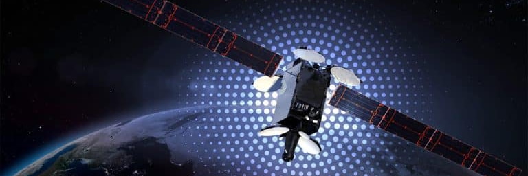
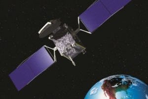
Intelsat’s WAAS payload was hosted on an Orbital Science StarBus 2.2 platform. The hosted payload added about 60 kg to the launch mass and required about 300W of platform power. This hosted payload was added to a spacecraft already in production and launched within two years of contracting with Lockheed Martin. Critical to the success of this program was the fact that Intelsat had contracted multiple spacecraft from the same manufacturer with space on the nadir deck. Additionally, Orbital Science was extremely flexible in accepting changes to the spacecraft already in production.
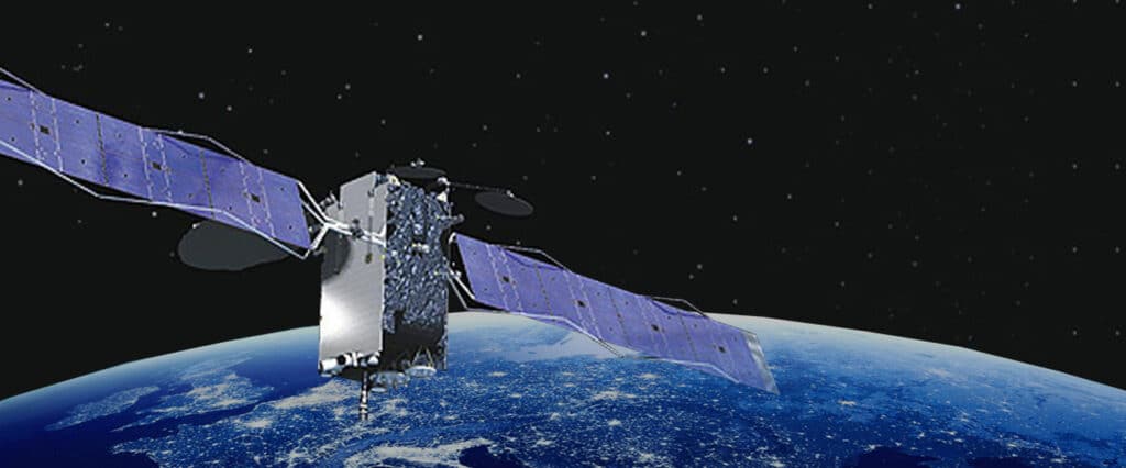
Galaxy 15 was launched in 2005 and following certification began transmitting the WAAS signal. The satellite was replaced in 2020 and the WAAS payload now resides on the new satellite. This payload now provides the capability for the development of more standardized precision approaches, missed approaches and departure guidance for approximately 4,100 ends of runways and hundreds heliport/helipads in the National Air System (NAS). WAAS also provides the capability for increased accuracy in position reporting, allowing for more uniform and high-quality worldwide Air Traffic Management (ATM).


