Greater Industry Cooperation Needed to Avoid Space Collisions

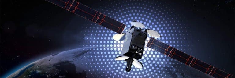
As one of the larger satellite operators on the geostationary arc, Intelsat is committed to safety of flight and maintaining the stewardship of the space environment as a core value. But as an industry, we have been slow to take the next step toward having truly reliable space situational awareness (SSA) – in all three orbital regimes, LEO, MEO and GEO — that would dramatically decrease the chances of having one of our satellites damaged or taken out of service by a rogue object.
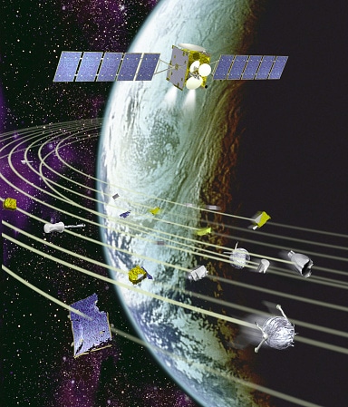
So far, we have been willing to rely on sometimes unreliable and incomplete data to monitor our space environment. For many years, the main source of information for commercial operators about objects in space has been the U.S. military’s Joint Space Operations Center (JSpOC), which uses radar and other sensors to keep track of orbiting satellites and debris.
In 2009, Intelsat and other large satellite operators created the Space Data Association (SDA) to voluntarily share information about our satellites in orbit. SDA member operators not only share satellite position information but also future maneuver plans for their spacecraft. This data, when combined with the JSpOC catalog, has allowed operators to predict possible conjunctions more accurately and work together to keep spacecraft at safe distances from one another.
While JSpOC should be commended for providing a free public service, it still has limitations. First and foremost, JSpOC primary mission is to serve U.S. government assets. The service provided to commercial operators is a byproduct which does not have the level of transparency that a commercial operator should expect. Secondly, JSpOC data is not the most accurate: it does not currently include satellite maneuvers; nor does it include a realistic covariance that can be used to estimate a probability of collision; nor does it provide tracking of objects of smaller size.
To further improve safety of flight, the SDA just announced a ground breaking agreement with Analytical Graphics Inc. (AGI) to deliver a new managed service to enhance the existing safety of flight. This new service will provide accurate and actionable collision warnings based on an independent object catalog gathered from a combination of commercial ground-based optical, radar, and potentially space-based optical sensors. Initially including all objects greater than 1m in size, the catalog will grow to include objects down to 20cm resolution.
Additionally, to address to growing problem of RF interference, the system will support a number of functions related to RFI mitigation, including production of geolocation solutions and a carrier ID database.
Now we are also seeing many companies looking to launch LEO constellations of hundreds of small satellites. Many of these satellite designs are so small that they don’t have propulsion systems for in-orbit maneuvering. One operator, OneWeb, has designed a constellation that is fully compliant with preserving safety of flight. Their model can be used as a blueprint for future LEO constellations. But should we require that all satellites have some means of propulsion? This would increase the cost of the spacecraft, perhaps to the point that the business case for some LEO constellations would not work. If they are non-maneuverable, do we limit them to certain orbits?
All of the companies envisioning new LEO constellations need to be concerned about the potential impact, but Intelsat and other GEO operators need to be worried as well because our future satellites will have to fly through this plane to reach the GEO arc.
The global industry has made great strides in recent years to make space safer for satellite operations, but this endeavor is going to require even greater progress as we go forward. Intelsat and the other Space Data Association executive members (Eutelsat, Inmarsat and SES), realizing the shortcomings of the current Space Traffic Management for commercial operators, has contracted with Analytical Graphics Inc. for a managed service that will enhance safety of flight. We now need all other satellite operators to join us in our effort to protect our space environment for future generations.


