space hero 2880x1060 1 scaled
a satellite in space above earth

SES & Intelsat Fleetmaps and Networks

SES and Intelsat’s combined fleets of geosynchronous (GEO), medium Earth orbit (MEO), and low Earth orbit (LEO) satellites deliver robust, uninterrupted satellite connectivity to customers virtually anywhere in the world. Our unified satellite network utilizes C-, Ku-, and Ka-bands, wide beams, spot beams, and frequency reuse technology to deliver global, resilient, high-throughput connectivity for mobile network operators, broadcasters, and users across a wide range of sectors from maritime to aviation to government and beyond.
Satelite network fleet Map

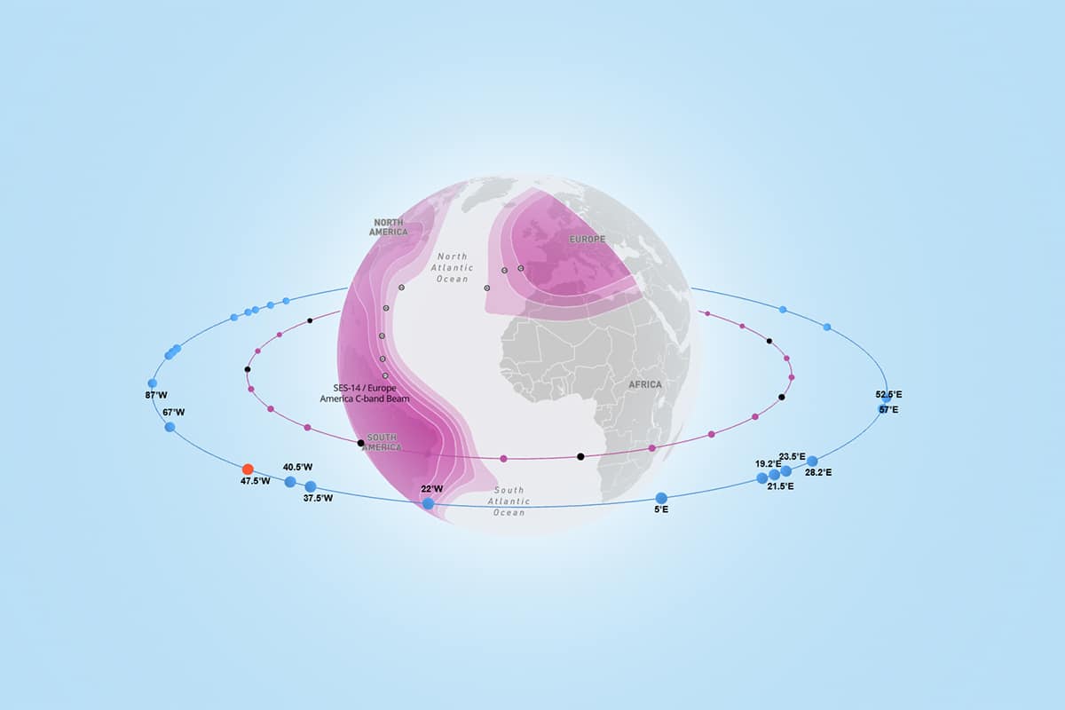
Intelsat Satellite Guide

View details, position and beam coverage for every one of Intelsat’s satellites. Understand the extensive reach and capabilities of our satellite network to plan and optimize your connectivity solutions effectively. (PDF download; 16 MB)
SES satellite constellation map

The SES Fleet

Discover SES’s GEO satellites and MEO constellation coverage on an interactive 3D globe.
SES ground network map

SES Network Map

Explore SES’s global ground infrastructure, including gateways, PoPs and fiber network, through an interactive map.

Not Sure Where to Start?

Tell us more about your connectivity needs and our experts will find a solution that serves your organization.

Scroll to Top